Scroll to Explore
Try it outDrag and drop a region chip into the correct region outline
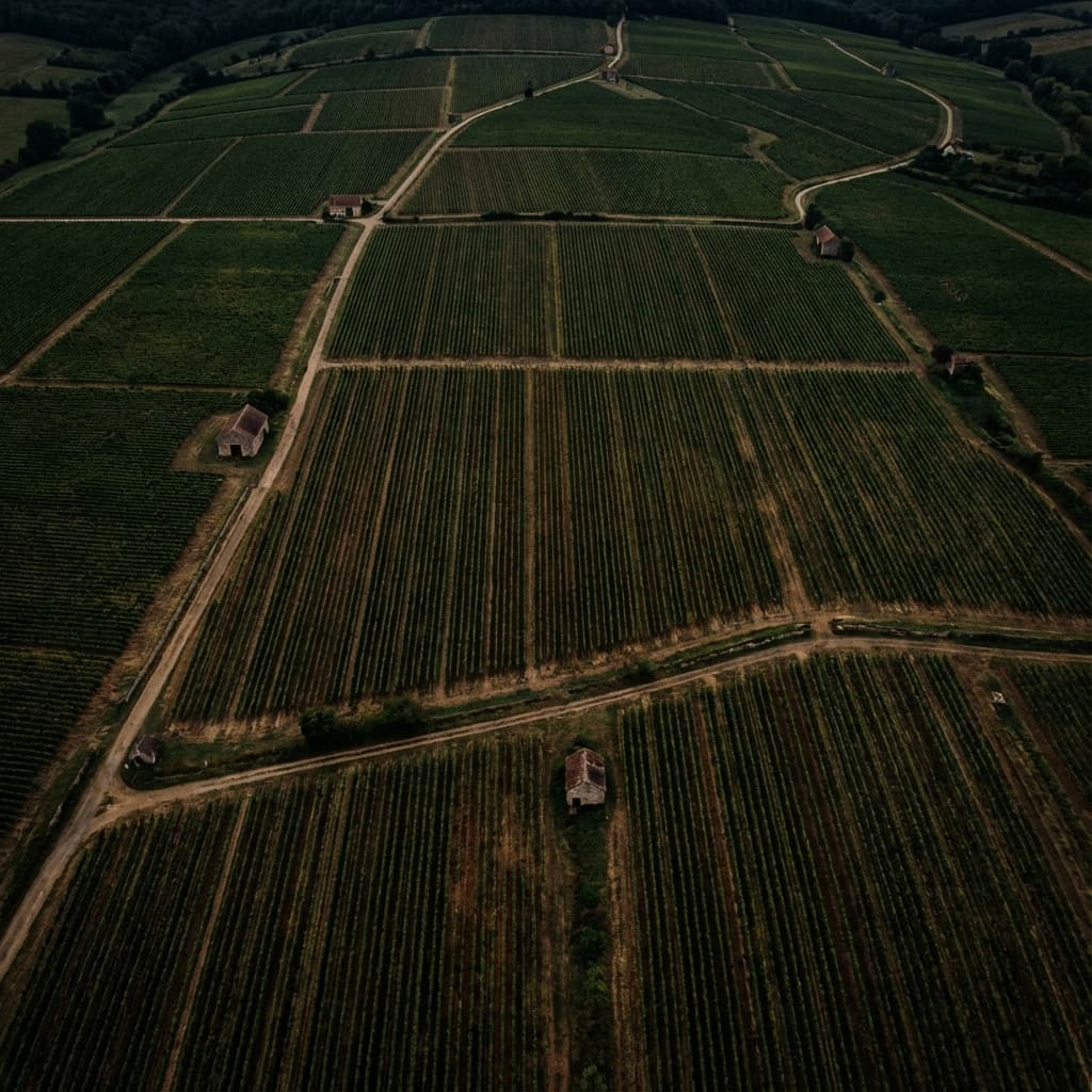
France
Flight 1 of 12
Groups
Bordeaux16 targets
Your textbook has
a new best friend.
Textbooks provide the history and theory. Terroirs brings the geography to life. Together, they give you the complete picture of the world of wine.
Interactive Maps as Flashcards
Flashcards lack context. Maps lack testing. By using interactive maps as flashcards, you gain the spatial context that neither can provide alone.
1
High-Res Imagery
Explore regions with varying zoom levels, from the view of the globe to the region.
2
Active Recall
Test your knowledge by identifying regions without labels first.
3
Spaced Repetition
Master tough regions by revisiting them until you can identify them in your sleep.
The perfect companion.
| Feature | Textbooks | Terroirs |
|---|---|---|
| Imagery | Static & Flat | 3D |
| Updates | Yearly Editions | Real-time |
| Learning Style | Passive Reading | Interactive |
| Context | Isolated Maps | Global Scale |